


11th to 20th July 2002
|
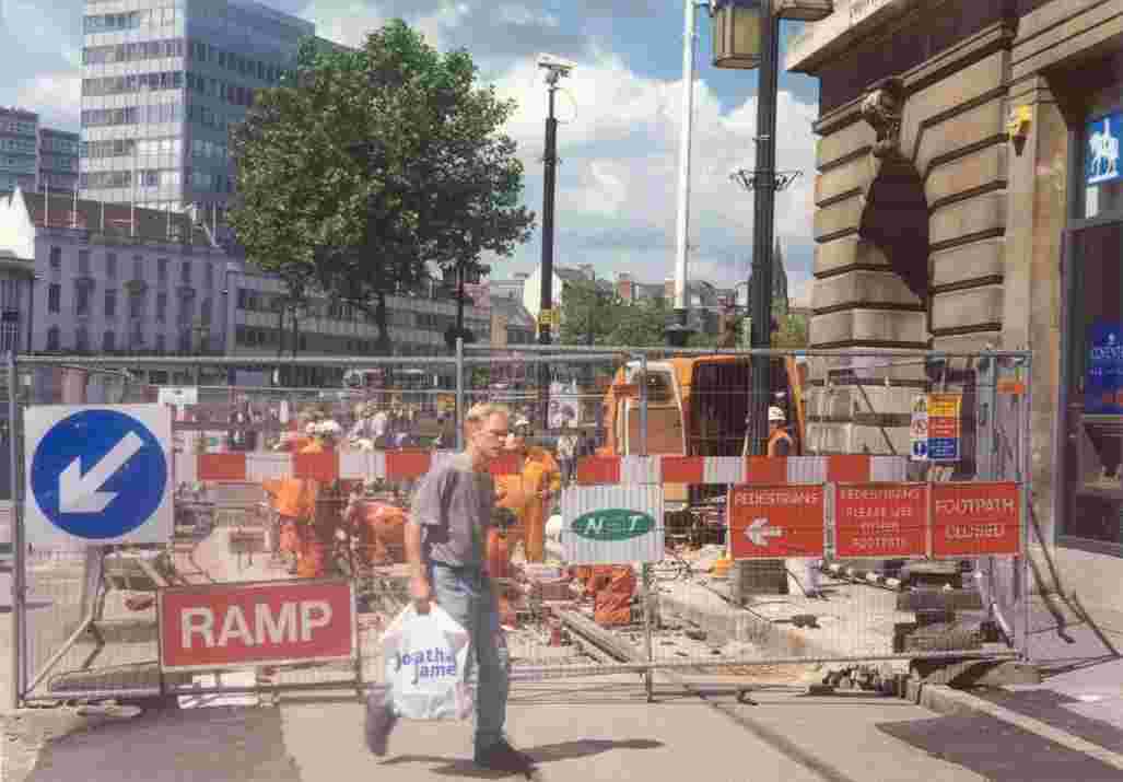
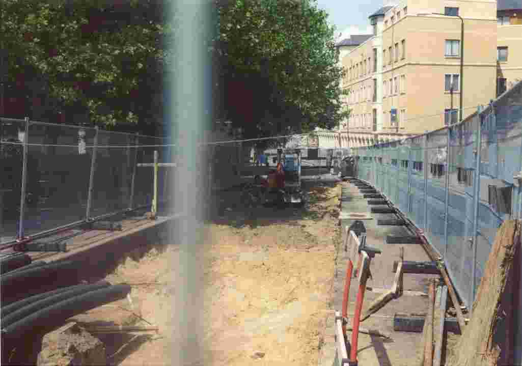
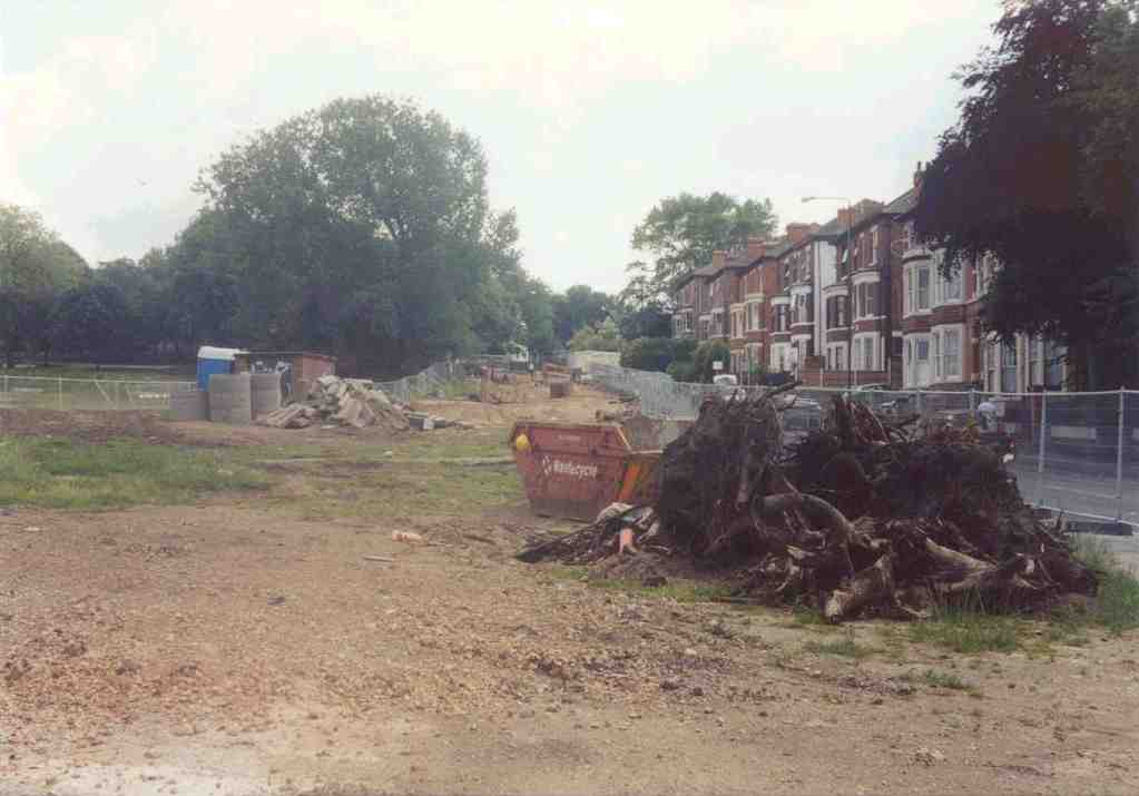
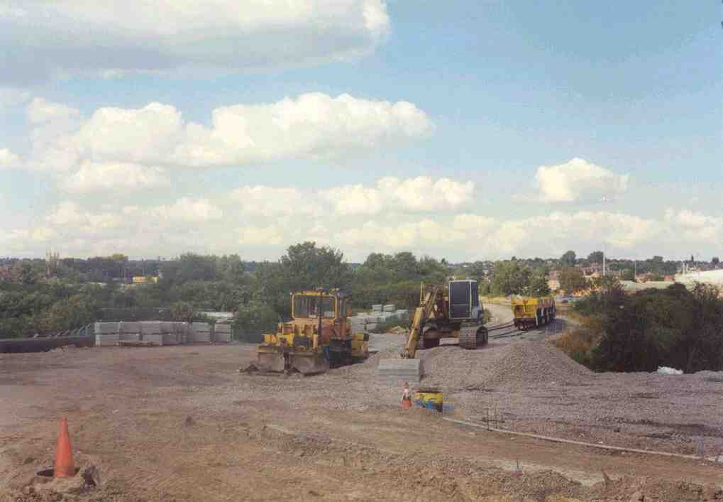
1. From Trent Street, looking at the site of the Station Street high level tram terminus. The lifts will be located in the foreground. |
|
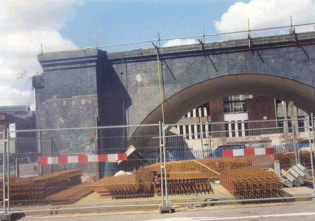
2. Trent Street, looking north, showing the bridge over Canal Street. The Staffordshire blue brick structure is all that remains of the former Great Central viaduct in Nottingham. |
|
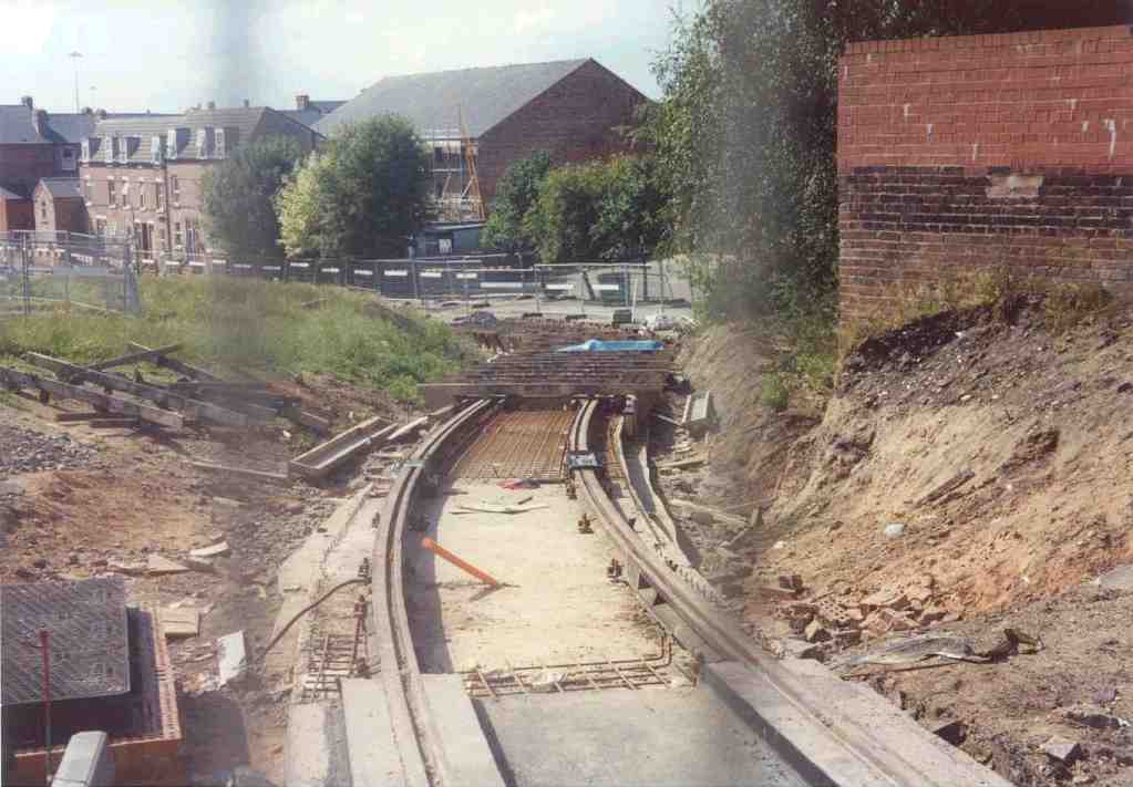
3. From Canal Street, looking southwest towards the entrance to the Crown Court, underneath the new tram bridge. |
|
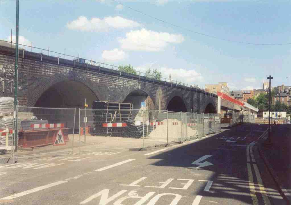
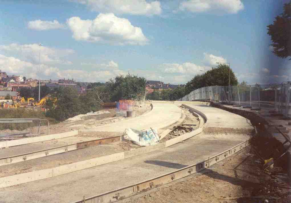
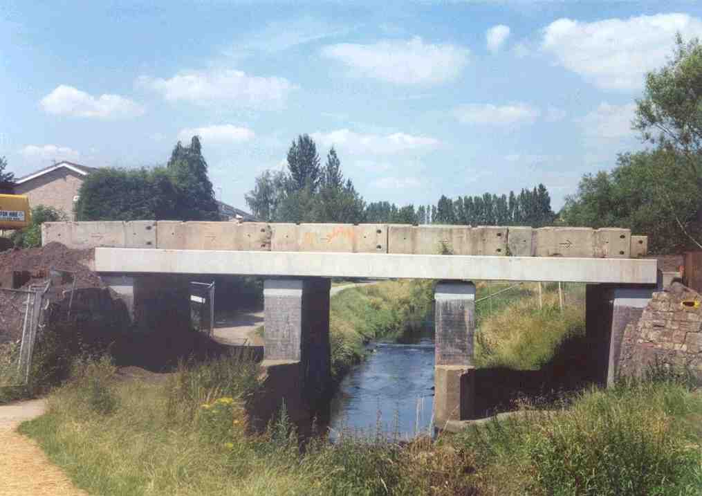
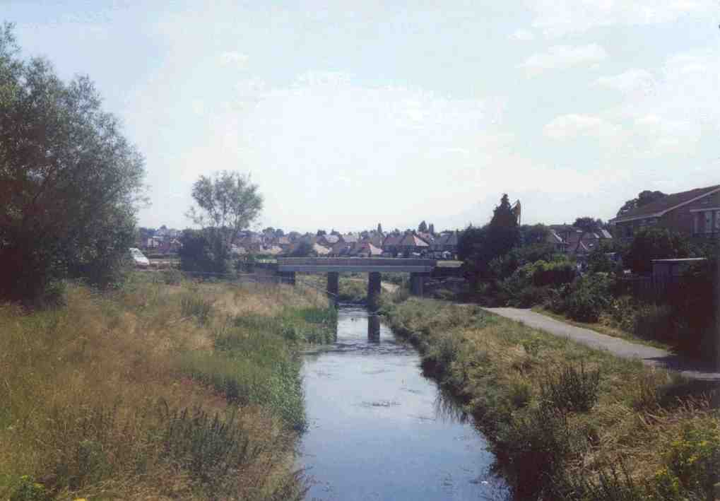
4. Canal Street, with the new tram bridge, looking west. The cleared site on the right before the bridge will accomodate the new Broad Marsh bus station and car park by 2009. |
|
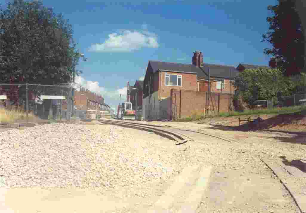
5. Looking north up Fletcher Gate, from Weekday Cross. Only the southbound tram track has been laid. In the far distance the tram stop for the Lace Market will be built. |
|
6. At the northern end of Fletcher Gate is the junction with Victoria Street. Here the tram track negotiates an acute-angled bend. |
|
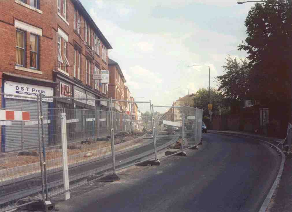
7. Looking east towards The Poultry and Victoria Street, with only one track, northbound, being laid. |
|
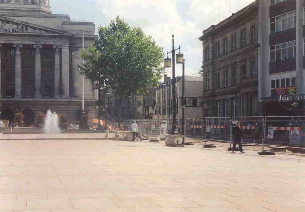
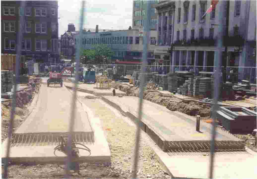
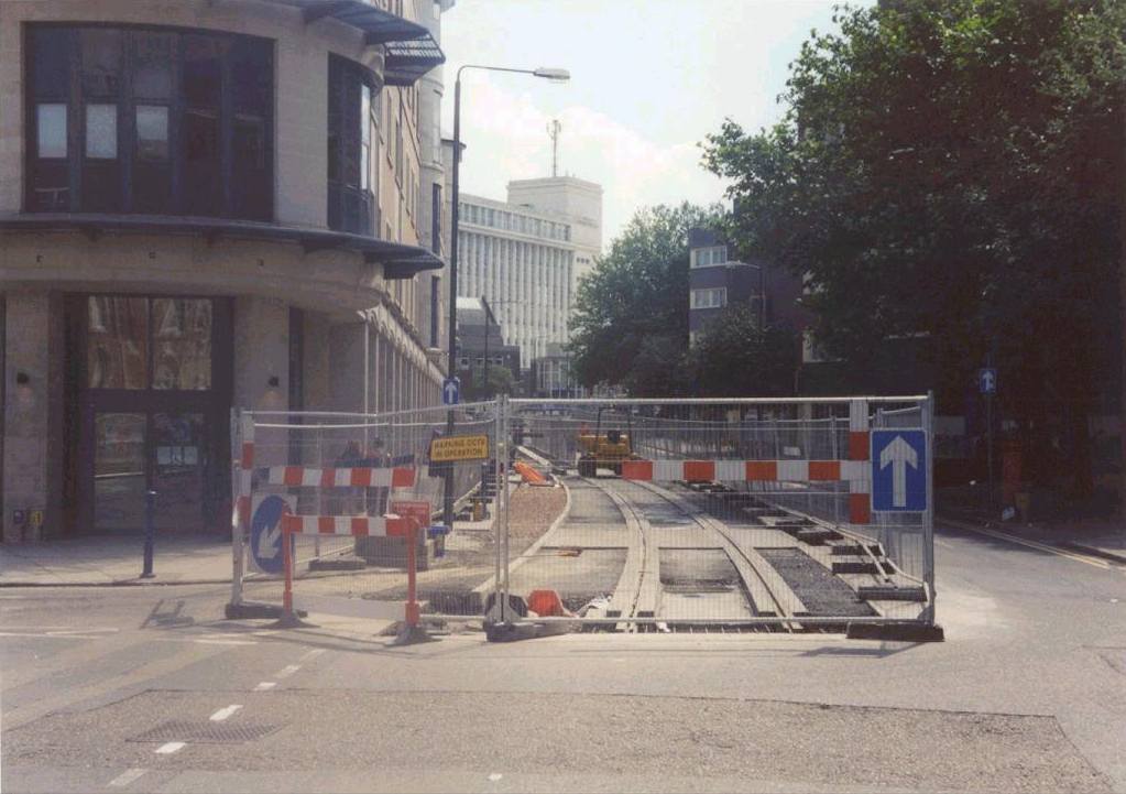
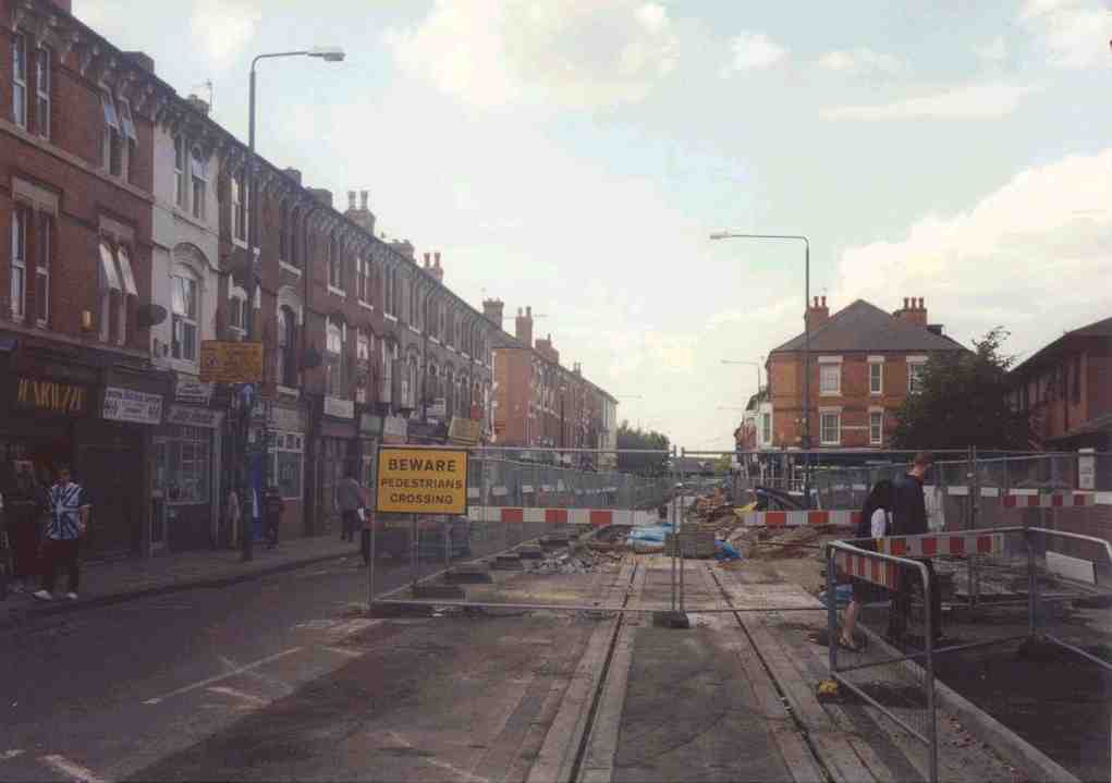
8. Looking west into the Old Market Square, with obvious extensive track under construction. |
|
9. At the top of Echange Walk, looking west. |
|
10. Again looking west along South Parade, towards the site of the Old Market Square tram stop, with the Square itself on the right. |
|
11. From the Old Market Square. The Council House is on the far left, and the tram stop on the right. |
|
12. Through the security gates, the site of the Old Market Square tram stop. |
|
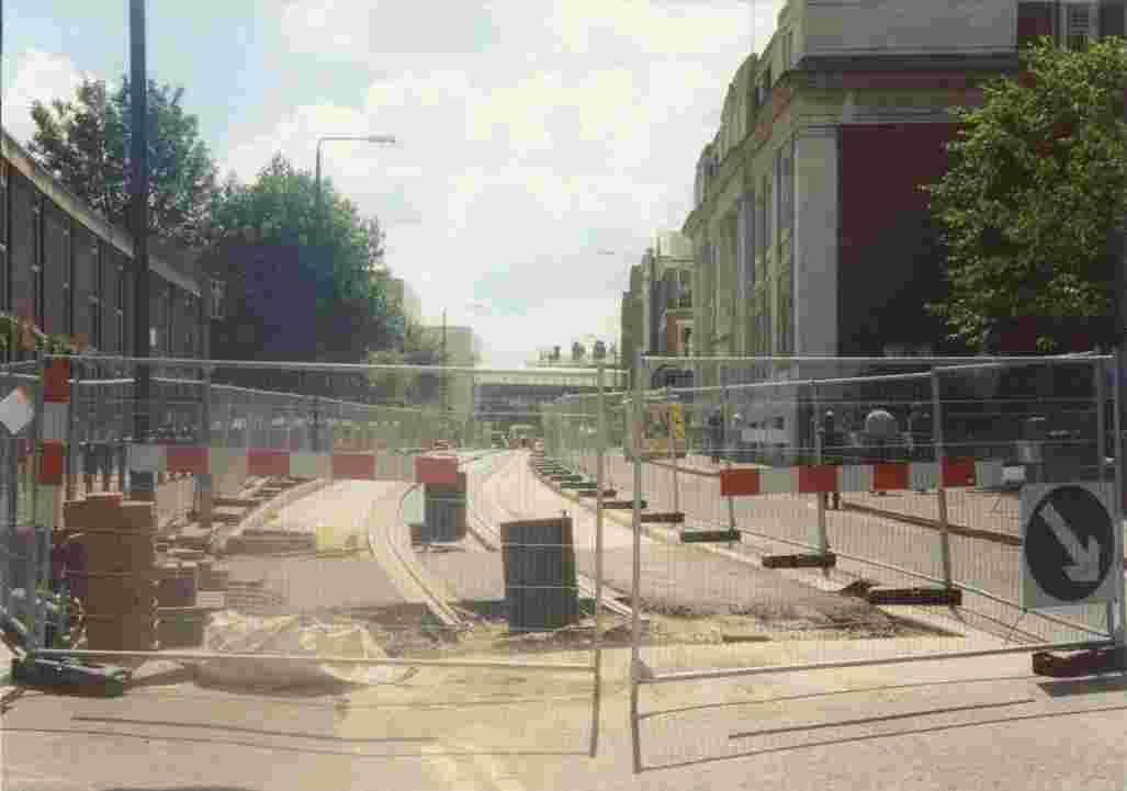
13. From the junction of South Parade and Wheeler Gate, up Beastmarket Hill. A crossover point is to be constructed here. |
|
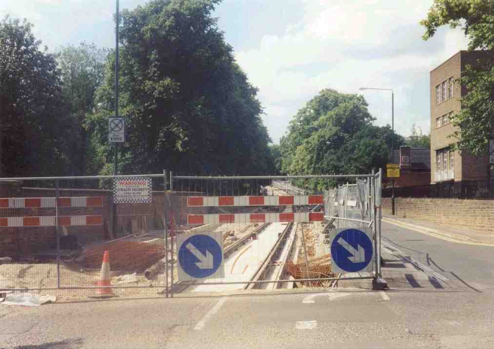
14. Looking south from Market Street, with the concrete foundations for the main track and Beastmarket Hill crossover visible. |
|
15. The Beastmarket Hill works are screened from the public next to the Old Market Square, and wooden trestles are stacked on the other side of the track. |
|
16. Looking north up Market Street, towards the Royal Centre. |
|
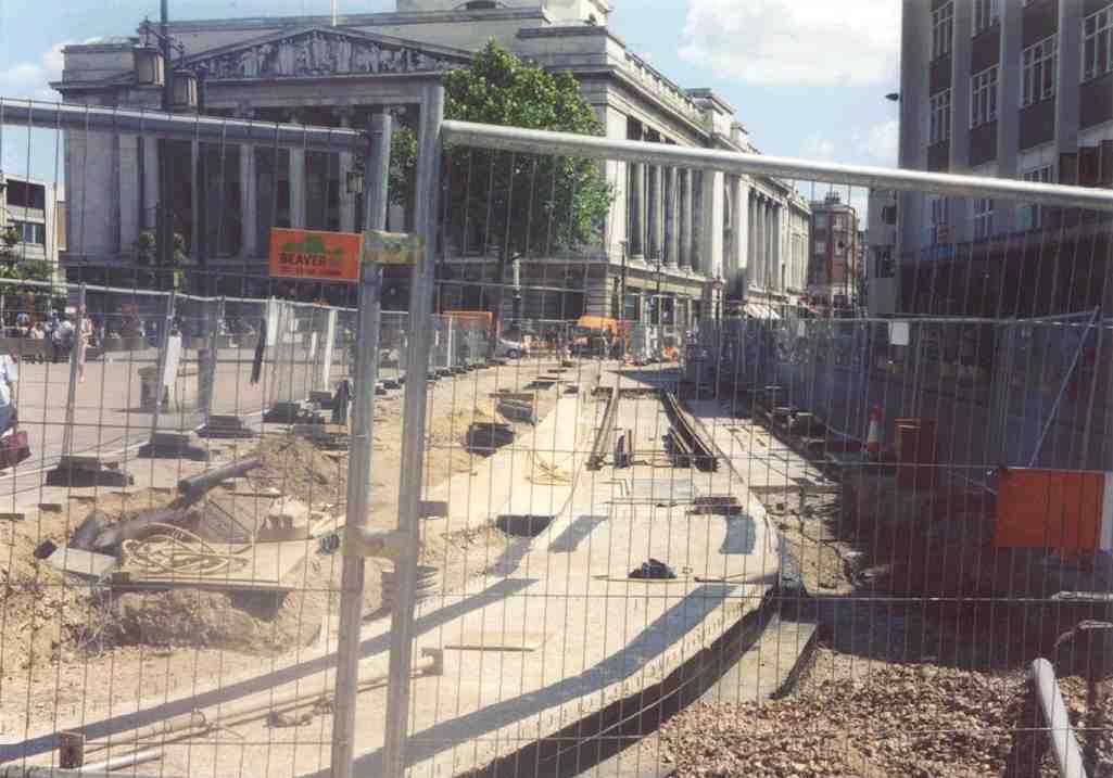
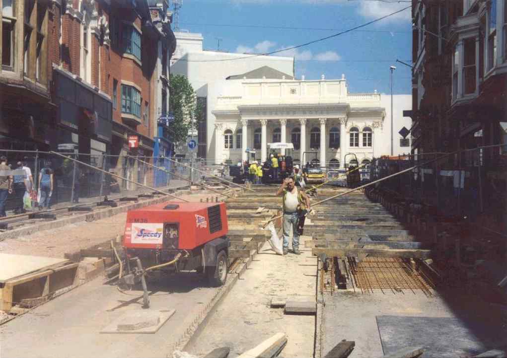
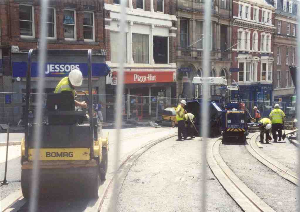
17. From the top of Market Street, looking south, with the track surface surrounds being ground. |
|
18. Goldsmith Street, looking north from the junction with Burton Street. |
|
19. Goldsmith Street, looking south, with the Masonic Hall on the right. |
|
20. Goldsmith Street, looking north, with the Trent University library on the right. |
|
21. Looking south from the junction of Goldsmith Street, Waverley Street and Shakespeare Street. The Trent University tram stop will be located here, but no work has started. |
|
22. Looking north up Waverley Street from its junction with Goldsmith Street. |
|
23. Again looking north up Waverley Street, with the General Cemetary on the left. |
|
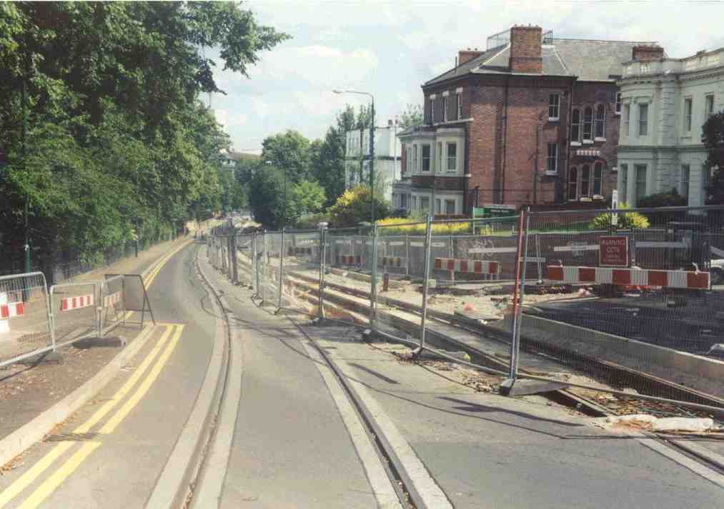
24. Looking south along Waverley Street, with the arboretum on the left. |
|
25. Looking north up Waverley Street, with the High School tram stop under construction. |
|
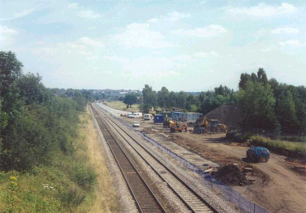
26. Where Waverley Street meets Mount Hooton Road, the tramline crosses Forest Road West on the level. The trees of the Forest recreation ground are apparent. |
|
27. Looking north down Mount Hooton Road. |
|
28. Looking south up Mount Hooton Road, with the Forest on the left. |
|
29. Looking north down Mount Hooton Road at the tram stop for the Forest, with 3 tracks and 3 platforms |
|
30. Looking north up Mount Hooton Road at the Forest tram stop site. |
|
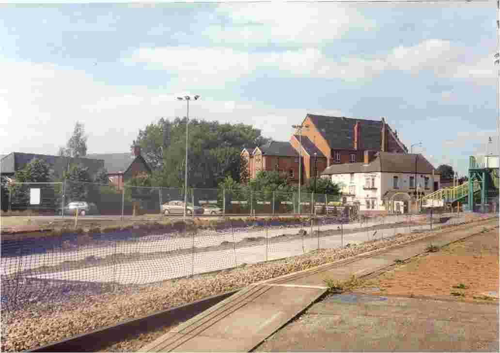
31. Noel Street, looking north, the direction of the trams here up the single track. The Asda store is on the left, and the Noel Street tram stop further up. |
|
32. Noel Street looking south towards the Forest and where the southbound track coming in from Radford Road crosses over. |
|
33. Noel Street looking north from the junction with Berridge Road. The Beaconsfield tram stop will be a little further up. |
|
34. Looking south along Noel Street, from the junction with Gladstone Street. The tramline will negotiate a right-angled bend here. |
|
35. Gladstone Street, looking towards Noel Street, with the track climbing up from Shipstone Street. |
|
36. Looking towards Shipstone Street from Gladstone Street, where the track swivels down a shallow gradient. |
|
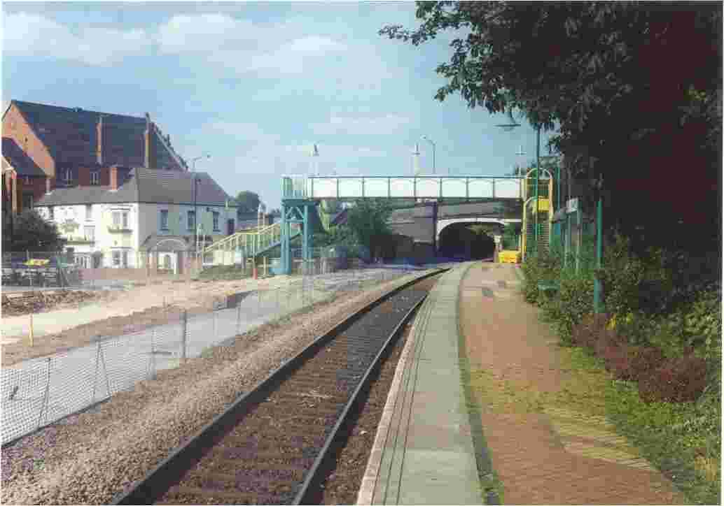
37. Shipstone Street, as viewed from Radford Road. The tram stop will be a few yards along this scene. |
|
38. A view of Radford Road from its junction with Wilkinson Street. |
|
39. Wilkinson Street tram depot. |
|
40. The tramline descends from Wilkinson Street to run parallel to the Robin Hood Line for segregated running. Allotments to the left. |
|
41. The meeting of the on-street and off-street sections at the bridge carrying Wilkinson Street over the Robin Hood Line. |
|
42. Radford Road, looking south, at the location of the tram stop, building not started yet. |
|
43. Radford Road, looking north, near the junction with Berridge Road. |
|
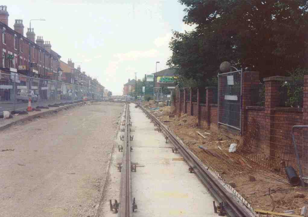
44. Radford Road, looking north, with Asda on the right. |
|
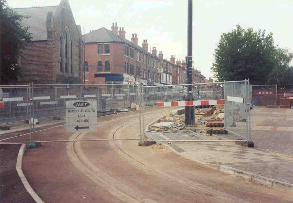
45. Radford Road, looking north, from the right-angle bend next to the future Hyson Green Market tram stop. |
|
46. The new pedestrian bridge at Basford tram stop, catering for wheelchairs. Compare with the second Bulwell station photograph below. |
|
47. Basford, looking north, with the tram tracks laid parallel to the Robin Hood Line, and the River Leen on the left. The David Lane footbridge is just visible. |
|
48. David Lane, looking north - the site of the future tram stop. |
|
49. Realignment of the embankment for Highbury Vale tram stop. |
|
50. The old coal railway line bridge over the River Leen at Highbury Vale being redesigned to take the tram. |
|
51. The River Leen bridge, as viewed looking south. |
|
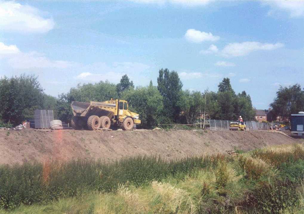
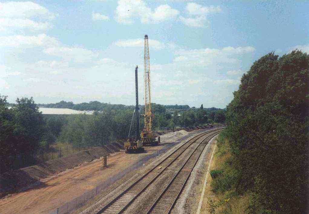
52. Diggers at work on the tram trackbed between the River Leen and Cinderhill cutting |
|
53. The tram trackbed as seen from the Bagnall Road bridge. The close-boarded fencing was erected by NET. |
|
54. Again from Bagnall Road bridge, a view into the cutting where the Cinderhill tram stop will be built. Cinderhill Road bridge is in the background. |
|
55. Phoenix Park, looking east towards Cinderhill Road. |
|
56. Phoenix Park, looking east. The site of this business park was occupied by Babbington Colliery until 1983, and the tramline follows the trackbed of the former mineral line. |
|
57. Phoenix Park tram stop platform foundations. A westward view. |
|
58. Phoenix Park tram stop platform foundations. An eastward view. |
|
59. The Phoenix Park tram stop being built behind the security fencing, and the bus stop on the right. |
|
60. Highbury Vale tram junction will be built where the contractor's buildings are now located. The foundation of the Hucknall line platform has been laid. Looking south. |
|
61. From the Robin Hood Line footbridge at Highbury Vale, looking north. The trackbed of the tramline is being prepared. The Great Northern Railway once had a bridge over the RHL here, and its embankment is hidden by the large trees in the foreground. |
|
62. Bulwell, looking south. One railway platform remains, the other demolished and foundations laid in its place for the new tram platform. |
|
63. Bulwell, looking north. The RHL footbridge is evident, but is not wheelchair-friendly. The car park is on the far left. |
|
64. Bulwell, looking north. The foundations of the island tram platform are being built. |
|
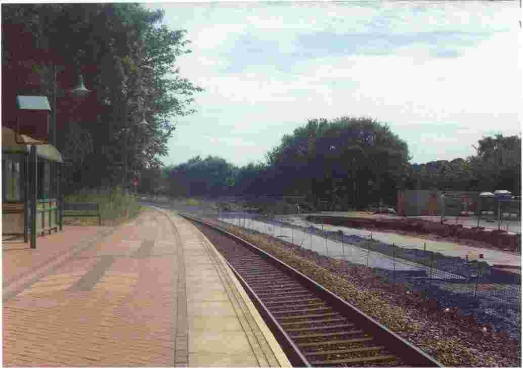
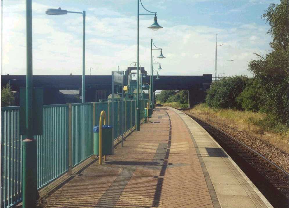
65. Hucknall RHL station, which has always had one platform only. No tramworks have started yet. Looking north. |
|
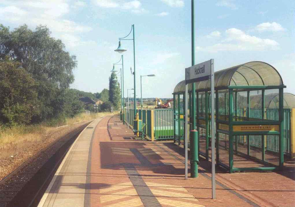
66. Hucknall RHL station, looking south. |